
Science & Art
|
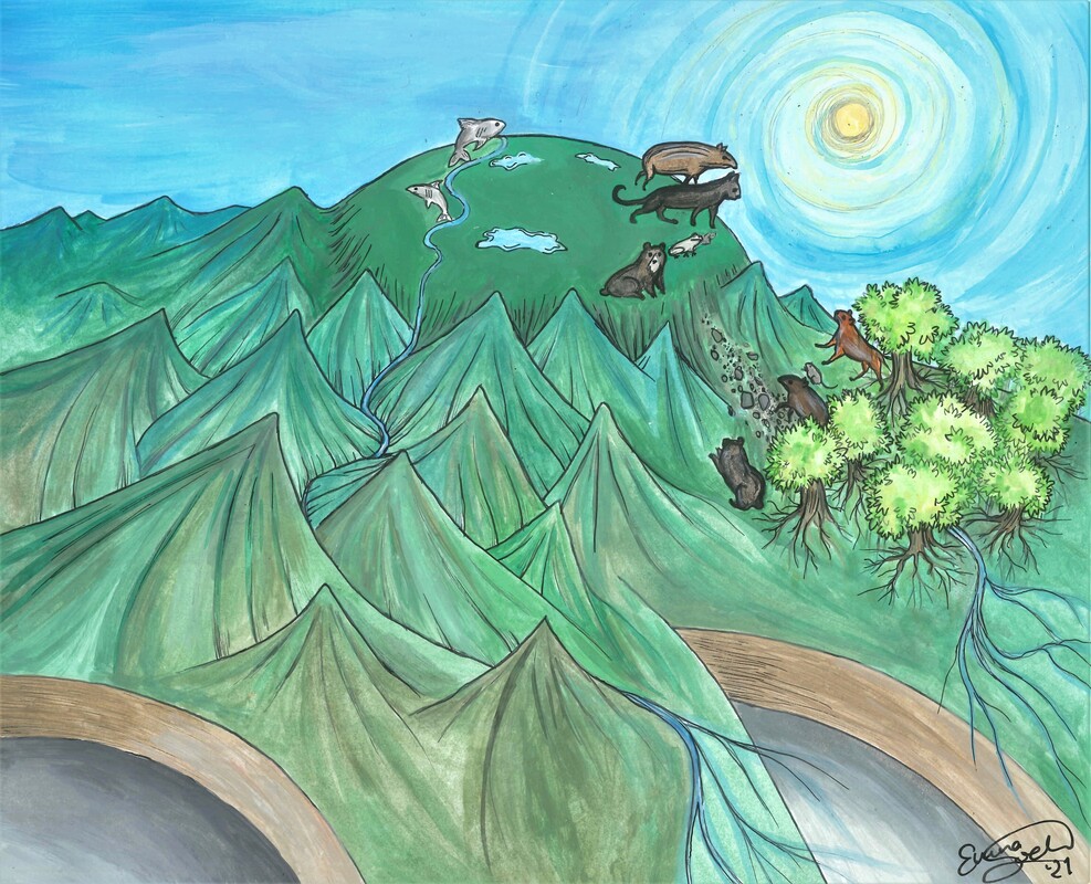
On this page I would like to post the beautiful illustrations that Emma Lodes developed together with me for several publications.
Lets start with the great picture for our recent Colombia paper. You see how the subducting slab is flat in the far end of the picture (northern Colombia) and steep in the front of the image (southern Colombia); the two segments are separated by a so-called slab tear (I hope you forgive Emma and me for excluding the upper plate). Until 5-6 million years ago, the subducting plate was steep in the north, too. Subsequently, flattening of the plate in that region caused strong surface uplift and formed the weird plateau you see in the picture. Lowland animals that previously lived in a tropical rain forest might have got "stuck" up on this high plateau and separated from their lowland relatives. |
|
|
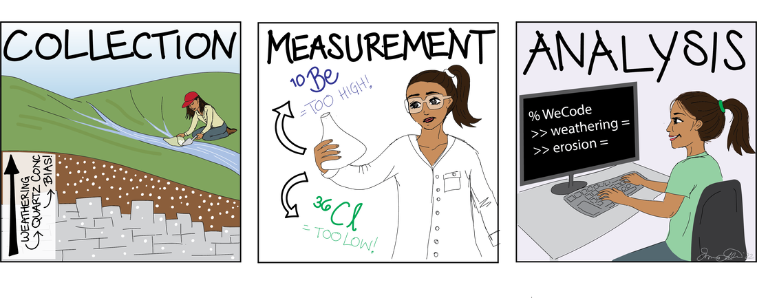
As shown on the code page, Emma drew a beautiful cartoon illustrating the WeCode software package, which allows you to calculate denudation and weathering rates, e.g. from paired cosmogenic nuclide measurements.
Open access article in Geochronology WeCode software |
|
|
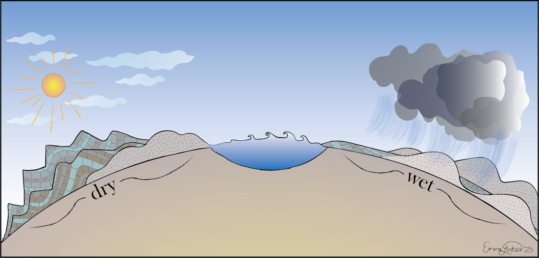
How do differences in tectonic uplift and climate affect the topography of carbonates to other rock types? Our paper shows that in humid climates, carbonates tend to form the low parts of the topography due to efficient weathering. In contrast, in dry areas the low erodibility combined with steepening due to surface water inflitration, lead to steep mountain ranges compared to silicic bedrock.
|
|
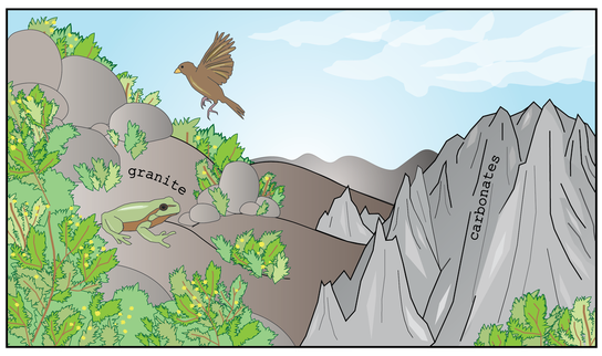
How does bedrock lithology impact topography, vegetation density and biodiversity of animals on a global-scale? Apparently, carbonates have quite a strong impact, and their hydrologic and chemical properties lead to lower vegetation density and biodiversity compared to regions underlain by other rock types. Geology matters! Free open access in GRL |
|
|
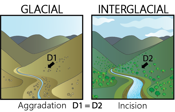
Our recent paper is ESPL investigates the controls on river aggradation and incision. In simple terms, a river aggrades either when the sediment input from the hillslopes increases, or when there's less water to transport material. But which of the two is it? To find more, we investigated fluvial deposits from last 100'000 years on Crete by mapping them, dating them, and calculating paleo-denudation rates. We found that despite major shifts in climate, the sediment supply from the hillslopes barely changed, but changes in river discharge were the main factor controlling aggradation and incision.
|
|
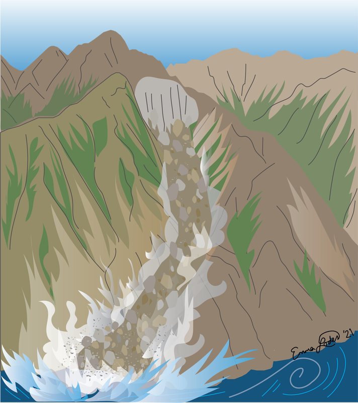
Elena Bruni's paper is about river terrace and alluvial fan aggradation and incision. Typically, we assume that cycles of aggradation and incision in sedimentary systems on time-scales shorter than a million years are related to changes in climate. However, Elena shows a beautiful field example of how changes between aggradation and incision can be due to purely stochastic events such as landslides, earthquake sediment mobilization, or big storms. |
|
